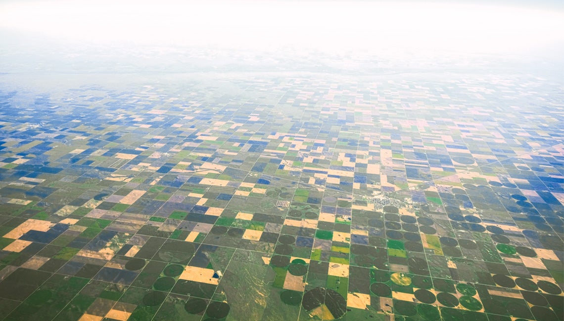
If you’ve ever flown over Ohio and points west, you cannot help but notice the checkerboard of farm fields and woodlots — the corn-and-soybean plaid that’s repeated westward until it finally exhausts itself at the edge of the Pacific Ocean.
You see the long, straight roads that look like gray-black ribbons pulled tight and laid over the land. From 35,000 feet, you see that the roads run, for the most part, at right angles, even in towns and cities.
All of that comes from one of humankind’s greatest innovations — and one that got its start in Ohio while the Buckeye State was still wilderness: the Public Lands Survey.
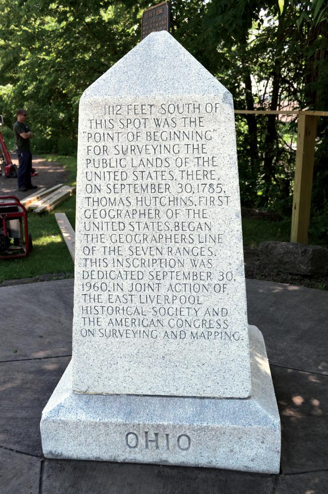
Thomas Jefferson authored the Land Ordinance of 1785, establishing townships — a grid of baselines and meridians 6 miles square, each further divided into 36 1-square-mile sections numbering 1 through 36. The survey started at the appropriately named Point of Beginning, at what is now East Liverpool, where Ohio meets Pennsylvania and the West Virginia panhandle.
In 1774, the Ohio Country was a vast land populated by a host of Native American tribes, and the British Crown wanted to use it as feudal property — owned by the king — where occupants would pay a tribute to live there. A young Thomas Jefferson was having none of it. He penned a pamphlet denouncing the plan — he hated the thought that only aristocrats and kings and churches could own land in America. More on that in a bit.
Soon, after having vanquished the most powerful military in the world, the fledgling United States had massive debt it needed to retire from the American Revolution. The land west of the Alleghenies was a potentially valuable asset, but before it could be sold off to the public, it had to be surveyed.
So Congress laid down the law on how the vast expanses of woodlands and meadows and marshes would be divided and distributed. Jefferson, then a representative from Virginia, authored the Land Ordinance of 1785, establishing townships — a grid of baselines and meridians 6 miles square, each further divided into 36 1-square-mile sections numbering 1 through 36 — ready for auction to those heading west and, as it turns out, easily distinguished from the vantage of today’s jetliner cruising altitude.
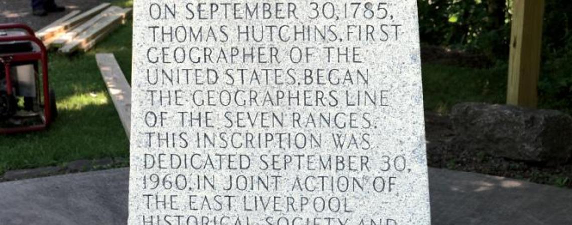
The survey started at the appropriately named Point of Beginning, at what is now East Liverpool, where Ohio meets Pennsylvania and the West Virginia panhandle. The actual starting spot for the Public Lands Survey is now submerged in the Ohio River, but nearby is a stout, squat obelisk marker that is underwhelming considering the significance of what unfurled through Ohio and onward.
The monument, though not specifically stated as such, commemorates three Jeffersonian ideals pivotal to the Land Ordinance: public education (Section 16 of each township was set aside for that purpose); westward expansion; and ownership of private property, which, as you remember, had stirred his passion back in ’74. Lost to an asterisk of history is that Jefferson’s first draft of the Declaration of Independence made prominent mention of the prospect of land ownership — it was replaced with “pursuit of happiness,” but remained dear to his heart.
On September 3, 1785, Thomas Hutchins, the first Geographer of the United States, rolled out a 66-foot-long chain and started measuring the wilderness behind axemen who cut paths through the forest. A surveyor’s chain, in fact, was the first unit of measurement designated by law in America and is still in use.
Additional evidence is all around of what a massive undertaking the mapping of America was — but nowhere more prominent than its proving ground in wild Ohio.
A few one-room schoolhouses, for example, still dot the Ohio landscape, often situated on the corner of mile-square sections numbered 16 on maps. The city of Mansfield is named after the mathematics professor who, at Jefferson’s urging, took over the Public Lands Survey and refined the methods to account for laying a rectangle over our globular planet. The Ohio-Indiana state line, in fact, was Mansfield’s meridian.