Our state’s very name, translated from the language of its original inhabitants, means “Good River.” While Ohio is named specifically for the mighty waterway that forms its eastern and southern borders, that name serves as an apt description of the entire place.
According to the Ohio Department of Natural Resources, Ohio is home to more than 3,000 named rivers and streams, and while our namesake obviously is the most acclaimed, each has its own story to tell.
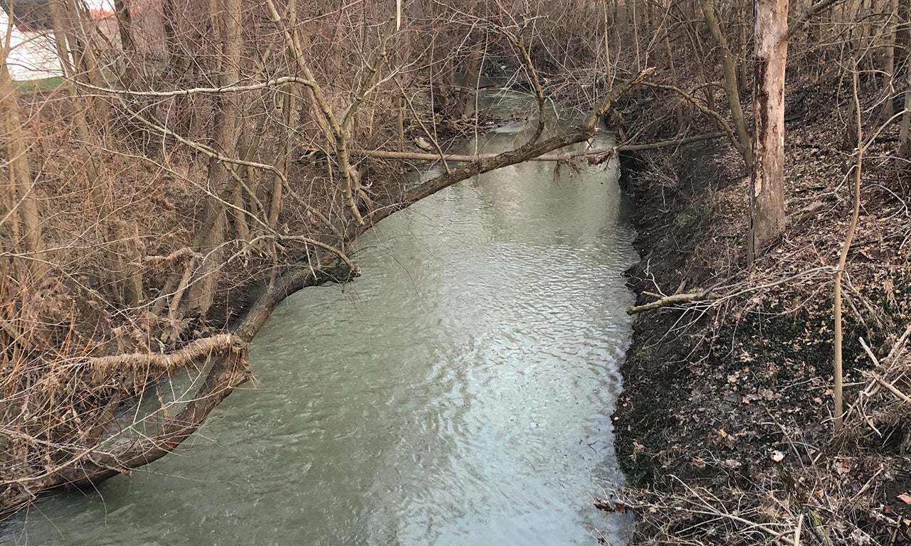
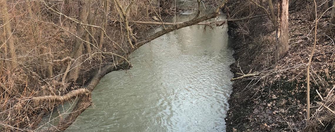
The Stillwater River widens as it flows through Ansonia.
Rivers, to me, are analogies of our humanity: They begin as spindly streams, unglamorous trickles, and, like people, they find their way — carving their character as they go, widening and deepening with distance. If a river can have such an ignominious beginning yet end with a glorious, glowing connection to something larger, then couldn’t that be a template for a life well-lived?
I grew up on the banks of the Great Miami River, which carves a 160-mile course from Russells Point to Cincinnati. Towns along the Great Miami are still — more than a century later — haunted by the ghosts of 1913, when its waters rampaged. In my hometown of Middletown, the downtown still displays high-water marks from that disaster.
The tales from old-timers about the Great Flood spurred my interest in rivers, and since that time, I’ve embraced other Ohio waterways. I’ve been tubing in Twin Creek. I’ve gotten stuck in floodwaters on the Wabash. I’ve strolled along both the Stillwater and the Scioto, biked along the Mad, tossed rocks into the Olentangy. I explored the nightclubs and bars along the Cuyahoga when I was a college student and picnicked along the Hocking as an adult. I’ve endlessly entertained my 6-year-old by contemplating the lack of a “Daddy River” while hanging out on the banks of the Maumee.
I’ve spent untold hours absorbed in Google Earth, following the routes of my favorite Ohio rivers — tracing those broad strokes that fade to chocolate-colored squiggles and then vanish in a thicket or a field. I always imagined springs bubbling up from nowhere, and being able to leap across the Scioto, for example, in a single bound. I recently realized I needed to jump off of the glowing screen and seek those sources in real life.
As I studied the maps, I noticed a pattern to Ohio’s rivers: A bunch of them start in a seeming no-man’s-land north of Dayton and south of Toledo. The Great Miami, Stillwater, Mad, Auglaize, St. Mary’s, and Scioto all have their sources there. Even Indiana’s river is Ohio’s — the famed Wabash, whose graceful currents have sparked many a Hoosier ballad, gets its start in the same cradle of rivers, south of Fort Recovery.
It seemed only fitting to start my quest with the Scioto.
The Scioto is Ohio’s river. Its gracefully swirling waters give the city of Columbus a waterfront, then slice southward toward a watery rendezvous with the Ohio. I had traced its route many times on Google Earth, each time pinning its humble headwaters to a farm field in eastern Auglaize County. But when I got there in real life, it wasn’t the near-spiritual experience of a bubbling spring. I was instead greeted by a drainage ditch in a desolate field. A weathered sign marked the Scioto’s start, but the waters soon drained into underground pipes and disappeared again.
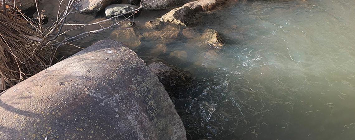
At least the Scioto’s start, in tribute to being Ohio’s river, is marked with a sign. The Stillwater River begins under a nondescript bridge, water running out of a rusty pipe. Beer bottles were strewn around the bridge when I visited. A bit later, freed from its straitjacket of ditches and field tiles, it snaked as a small stream into a nearby forest. I looked again at the pipe, searching in vain for any trace of a spring.
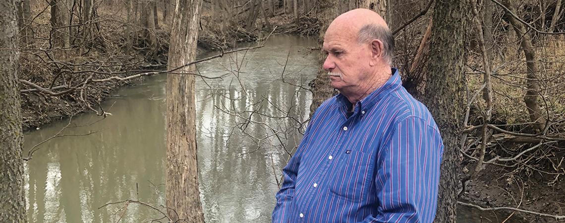
I turned to Stephen Jacquemin, a biology professor at Wright State University and a nationally known expert on wetlands, for answers.
Jacquemin says that if I had visited the area before it was cleared for agriculture in the 1800s, I would have found what I was hoping for: groundwater seeping to the surface, a marshy swamp, and a river’s humble headwaters.
When settlers came along and decided they needed agricultural land, he says, they buried tiles about 3 feet below the surface. Those tiles drain the naturally occurring springs and wetlands into pipes that then empty into human-made ditches, which only then launch the river into its natural course — leaving behind rich, nutrient-dense farmland.
“We have been digging those ditches since we started farming,” Jacquemin says. “Agriprofessionals will channelize the ditch to move water more quickly out of the field.”
Not all of the wetlands were drained. Grand Lake and Indian Lake were created out of existing wetlands and made into large lakes to feed the water-hungry Miami and Erie Canal in the 1830s and ’40s. Because of that, the Great Miami gets a bit more of a glamorous start than a field pipe — spilling over a dam on the south side of Indian Lake. Its source would otherwise have been in the same general area, which was a muddy, swampy marsh before the canal was constructed.
I went back to find the reemergence of the Scioto, and when I found it, crossing under Ohio Route 385, it looked more like the natural stream I was expecting. I happily leapt across in a single bound and, now satisfied, headed home.
Cradle of rivers
That the area of western Ohio between Toledo and Dayton is a source for so many rivers owes to its geological history.
Two million years ago, before the start of the last ice age, the giant Teays River flowed from North Carolina toward the north and west all the way to what is now Illinois, including roughly the course that the Scioto and upper part of the Wabash take today.
That one long river and its watershed drained most of the Midwest. But as the ice age dawned, glaciers smothered the Teays — the reflow created, among others, the Ohio River.
“As the ice sheets were retreating, it reconfigured the surface drainage. You will see the divide between the Great Lakes drainage and the Mississippi drainage. You have a massive watershed divide,” says Wright State University Professor Stephen Jacquemin, an expert on wetlands.
The glaciers also left behind rich underground water reservoirs that still bubble up to the surface, as well as a patchwork of ponds and lakes. All of those serve to birth and feed the many trickles that come together and form the cricks, streams, and, eventually, the mightiest of rivers.
